See your roof, lot or site from above, in 3D.
I fly a drone over your property or job site and give you a 3D model you can spin around, a top-down map, and the photos to go with them, usually within a day. Drag it around and judge the work yourself.

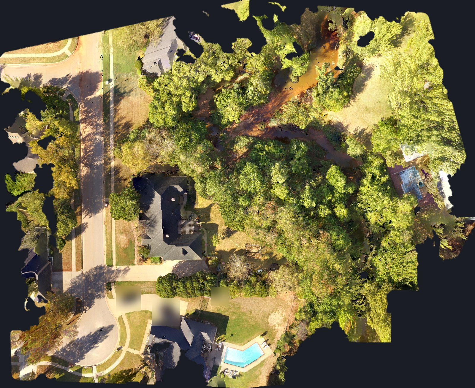
Captured in a single Phantom 3 flight, about 100 photos stitched into one model.

Licensed and vetted
FAA Part 107 certified remote pilot and a Droners.io Approved Pilot.
Corridor mapping
Creek & Drainage Corridor Mapping
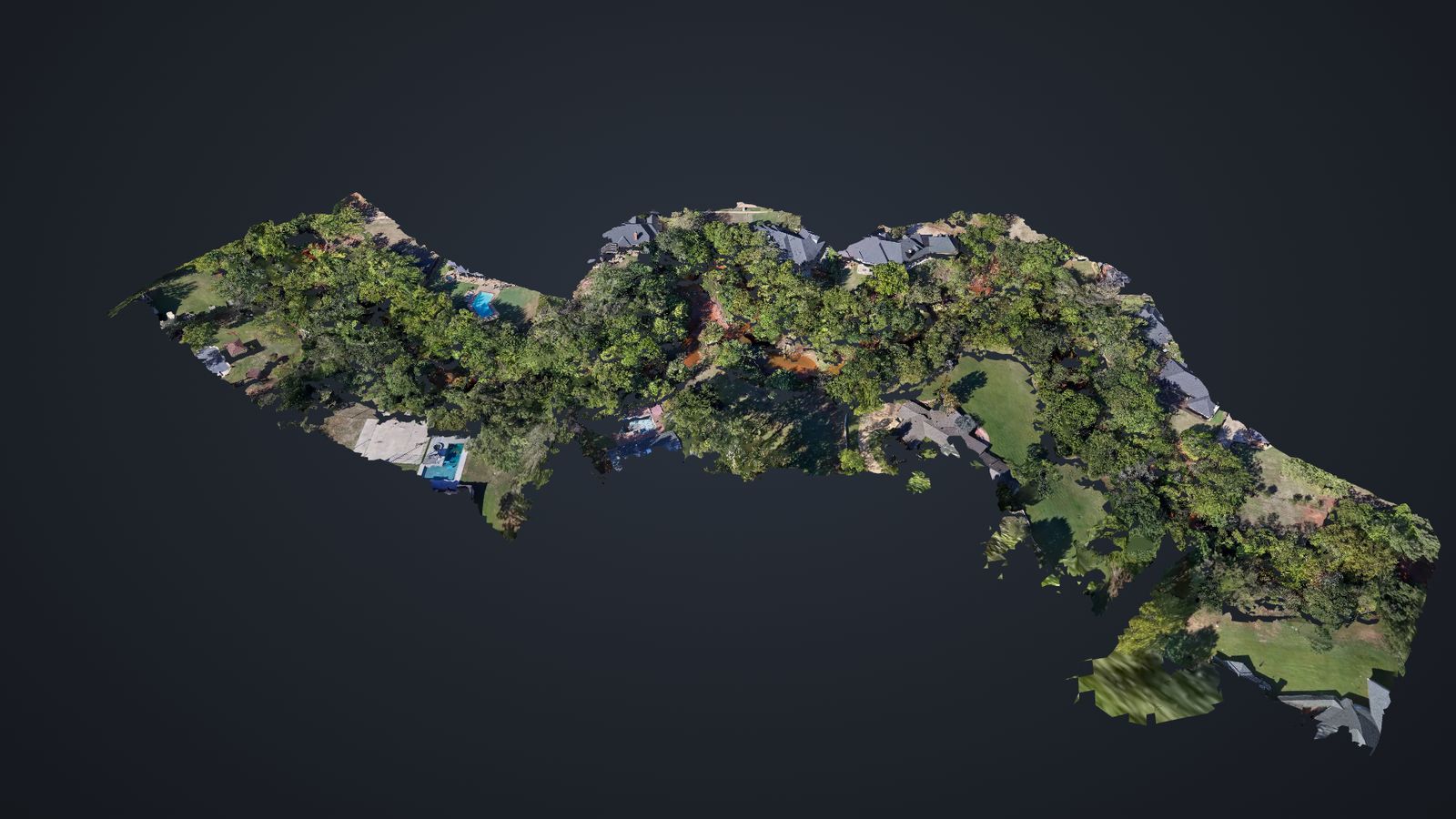
Interactive 3D model of about 1,300 ft of creek corridor in the Edmond area, captured with a DJI Mini 5 Pro in one flight.
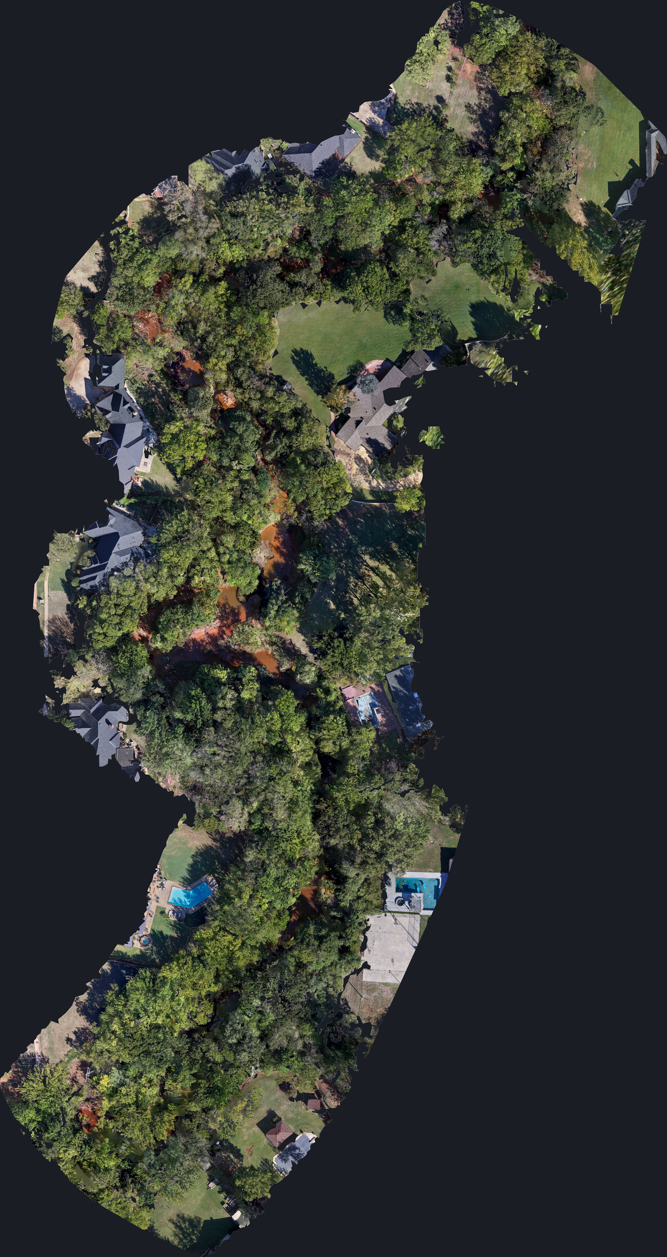
- 1,300 ftcorridor
- 16 acrescovered
- 209photos
- 1 flight8 minutes
- 5 cmdetail
We map long, narrow sites in a single flight: creeks, drainage channels, utility and pipeline right-of-ways, roads, and fence lines. You get a measurable top-down map and an interactive 3D model to track erosion, plan drainage work, document before and after, or share with engineers and adjusters.
Built for
- HOAs
- Developers
- Civil engineers
- Utilities
- Landowners
More mapping work
See a topo map with 1 ft contours and a power line right-of-way corridor, both in interactive 3D. Topo & ROW corridor mapping →
Builders can see a full construction progress capture from an Edmond development site, with the 3D model, orthomosaic and contours. Construction progress mapping →
What you get
3D model
A model of the roof, building and lot you can spin, zoom and send as a link or file.
Top-down map
One stitched picture of the whole site from straight above, good for planning and for a record of the day.
Roof and property photos
Overall shots and close-ups of the spots you care about, so you can look from the ground.
Files within a day
I send everything within a day of the flight, so you aren't waiting on it.
Who it's for
- Realtors: a listing showcase with a property and lot overview, plus a 3D walkthrough link you can drop right into the listing.
- Roofers: roof documentation before and after the job, a shareable 3D model to show homeowners what's up there, and photos for your estimates. I do photos only, so there's no insurance claim advice.
- Builders and contractors: site progress pictures, a lot and layout overview, and before and after records you can pull up later.
- Property managers: a clear record of a building or lot as it looks today, ready to send to an owner.
How it works
- Call or email me the address. Tell me what you need to see and I'll tell you if it's something I can fly.
- We pick a time that works. Cost is covered in person before I fly.
- I fly it and send the files. I check airspace and weather first, and you'll have the model, map and photos within a day.
If conditions aren't safe to fly, I'll reschedule instead of pushing it.
Get a quote
Tell me the address and what you need to see, and I'll get you on the schedule.
Call or text 405-883-FIRE (3473) hello@shoutfire.com